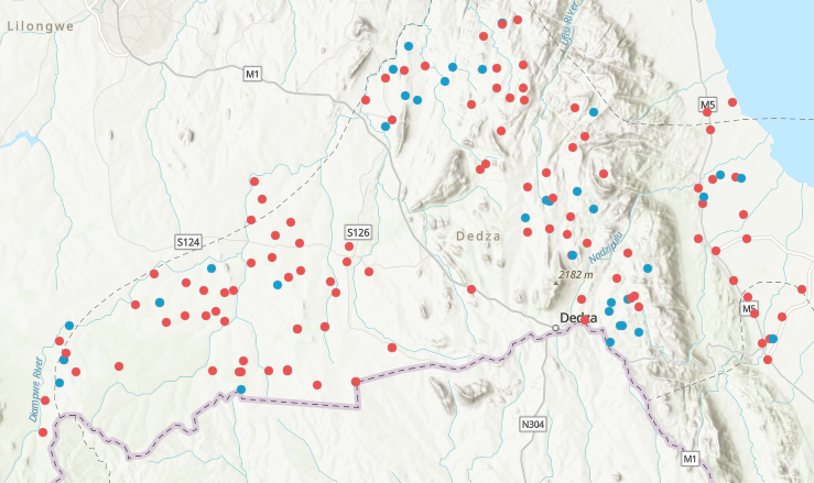
One of the activities being undertaken by the District Energy Officers in Dedza and Balaka is surveying the energy access status of key community infrastructure (schools, health centres, irrigation schemes, trading centres). The survey data is now available through a public arcGIS map. A version is embedded here with all surveyed sites shown. Blue indicates presence of solar PV. Clicking a site will reveal information on location and energy access status. The full version of the map can be accessed here.